
Lagundo · Italy · To discover
Algunder Waalweg
Following the Water Above Algund
- A medieval irrigation channel still at work
- Vine pergolas and views over the Merano basin
- Schloss Tirol watching from above
- €0 / person
- Plars and Dorf, Algund (Lagundo), above Merano
- Walking trail
- 90–150 minutes
Rain is a scarce commodity on the sunny slopes above Merano. For centuries, farmers here solved the problem with Waale: narrow channels that carried mountain water across the hillside to thirsty vineyards and meadows. The Algunder Waal is one of them. Its first sections, from the Töll towards Plars, are thought to date from the thirteenth century, and it still does its job, watering the vines and orchards below. The path beside it was once the preserve of the Waaler, the man who kept the channel clear and made sure each farmer drew only his allotted share of water for his allotted hours. Today it belongs to everyone, and on a fine spring weekend it can feel as though everyone has come.
The walk runs for roughly six kilometres from the Töllgraben bridge in Plars to Gratsch on the edge of Merano, with so little change in height that the gradient barely registers. Local farmers distinguish the Plarser, Algunder and Gratscher Waal along the way, though walkers will notice no seams. The western stretch is the most intimate: the water chatters alongside under old vine pergolas and through shady mixed woodland scattered with boulders, while the chairs of the Algund–Vellau lift drift silently overhead.
Further east the landscape opens out. Vineyards and apple orchards fall away towards the garden village of Algund and the Merano basin, and Schloss Tirol, the castle that gave the whole region its name, keeps watch from the slope above. Benches appear at well-judged intervals; it would be churlish not to use them. Leiter am Waal in Mitterplars and Café Konrad are the classic stops for lunch, coffee or a glass of local wine, which, given the surroundings, seems almost obligatory.
The path ends above Gratsch near the small church of St Magdalena. From here you can continue along the Tappeiner Promenade into Merano, climb to Dorf Tirol or simply take a bus back. The path's narrowness is its main drawback: in blossom season and on autumn weekends it can be busy enough to demand patience and some polite stepping aside. Go early, walk from west to east so the views unfold ahead of you, and let the water set the pace.
- Historic setting Former agricultural building
- Restaurant
Good to know.
- Location
-
39022 Algund, Autonomous Province of Bolzano – South Tyrol, Italy
Open map & directions - Parking
Free car park in front of the Töllgraben bridge at the western trailhead, near the roadside fruit stands. It fills quickly on fine weekends.
- Getting around
Vinschgau railway to Töll, then a short walk to the trailhead at the Töllgraben bridge. Buses 213 (Merano–Algund–Partschins), 235, 237 and 251 serve Töll and the trailhead; from Gratsch, buses return to Merano.
- Arriving
The western trailhead is beside the car park in front of the Töllgraben bridge, below Oberplars, directly on the Via Claudia Augusta cycle path. As a linear walk, it works best with a bus or train back to the start; alternatively, walk on to Merano and return by bus.
- Pets
A public footpath with no published restrictions on dogs. Keep dogs on a lead: the path is narrow, often busy, and runs beside the open channel.
- Accessibility
Not a step-free route. Although the gradient is gentle, the path is narrow in places, with roots, stones and occasional steps at road crossings; it is not suitable for wheelchairs.
- Travelling with children
The almost level route is recommended for families. Some stretches are narrow, with roots and stones underfoot, so pushchairs are awkward; a child carrier is easier. Keep small children away from the edge of the water channel.
Worth knowing
The trail is free to walk and open year round. Spring and autumn are the most beautiful seasons; summer heat is tempered by vine pergolas and woodland on the western stretch.
The route is linear, from the Töllgraben bridge near Töll to Gratsch above Merano. Plan to return by bus, or walk on to Merano via the Tappeiner Promenade.
The path is almost level, but narrow in places, with roots and stones underfoot. Wear proper walking shoes rather than sandals.
This is one of the region’s most popular walks. On fine weekends and in blossom season, expect to share the narrow path and to step aside regularly.
The Waal is a working irrigation channel. Do not dam, divert or play in the water, and keep children and dogs away from the edge.
Sections are occasionally closed for maintenance, landslides or flood protection works. In the winter of 2025–2026, a connecting path between Algund and Gratsch was closed during work on the Mühlbach. Check current conditions with the Algund tourist office before setting out.
Refreshment stops are along or just off the route, but opening days vary by season. Carry water, especially in summer.
The Algund tourist office (info@algund.com, +39 0473 448600) is open on weekdays and can advise on closures, buses and refreshment stops.
A few places to make it your own.
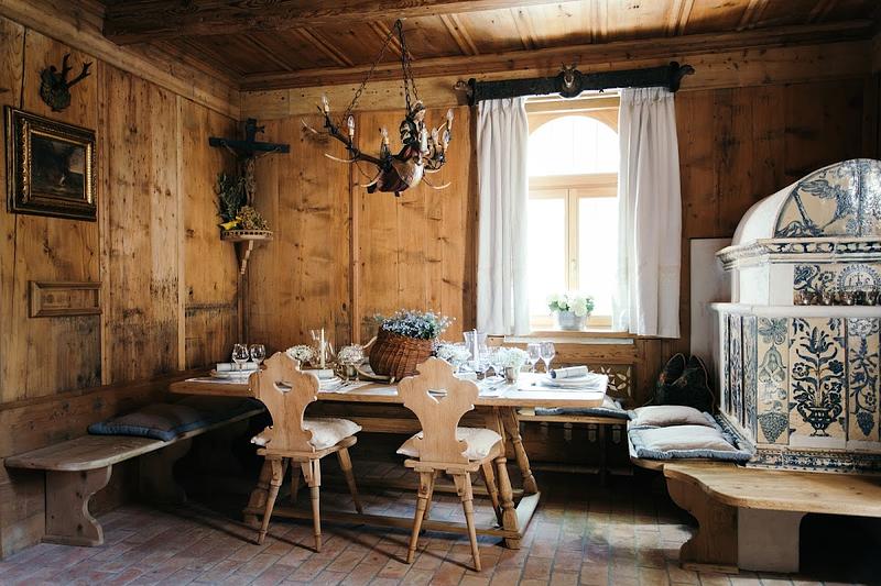
To eat · Lagundo
Schlosswirt FORST
Very authentic Sud-Tirol experience.
Discover this place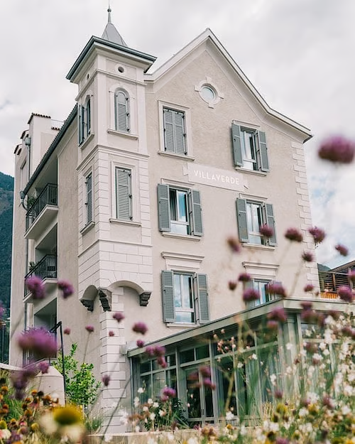
To stay · Lagundo
VillaVerde
Discover this place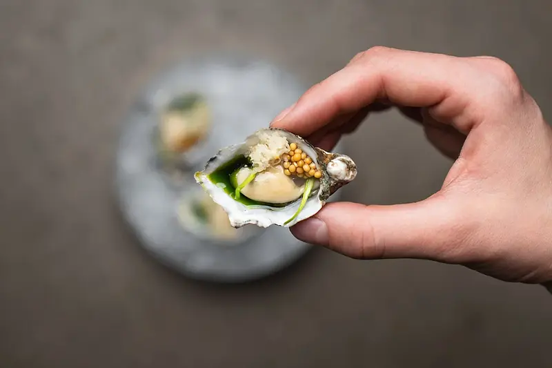
To eat · Cermes
Miil
Many restaurants borrow a bit of history. Miil had the advantage of starting with a seven hundred year old mill. The restaurant occupies part of the Kränzelhof estate in Cermes,...
Discover this placeAbout this edit · 9 sources
- The Algund Waalweg canal trail Route, duration, terrain, history of the Waaler, seasons, refreshment stops and tourist office contact. · Read 2026-11-12
- Algunder Waalweg Length, two part route through Ober- and Mitterplars, Dorf and Gratsch, St Magdalena, parking and bus access. · Read 2026-11-12
- Meraner Waalrunde Channel length, thirteenth century origins of the first sections, trailhead parking, bus lines and railway access. · Read 2026-11-12
- Waalwege trails The role of the Waaler and the system of Roaden water rights. · Read 2026-11-12
- Algunder Waalweg Length, year round access, recommended west to east direction, woodland section, chairlift and Leiter am Waal. · Read 2026-11-12
- Algund Plarser, Algunder and Gratscher Waal, the metal bridge at the end, chairlift and Tappeinerweg connections. · Read 2026-11-12
- Meraner Waalrunde, stage 6 Free parking at the fruit stands before the Töllgraben bridge. · Read 2026-11-12
- Algunder Waalweg: Töll to Gratsch Refreshment stops (Leiter am Waal, Café Konrad), walking times and best season. · Read 2026-11-12
- Wegsperre wegen Wildbachverbauung Winter 2025–2026 closure of a connecting path between Algund and Gratsch for flood protection works. · Read 2026-11-12